Overview
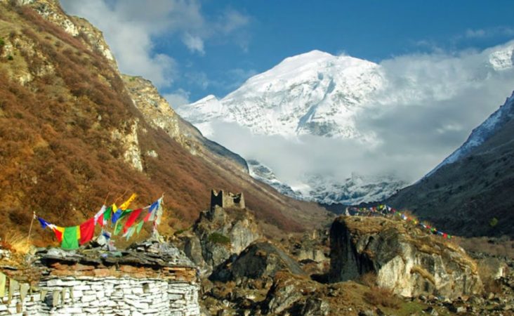
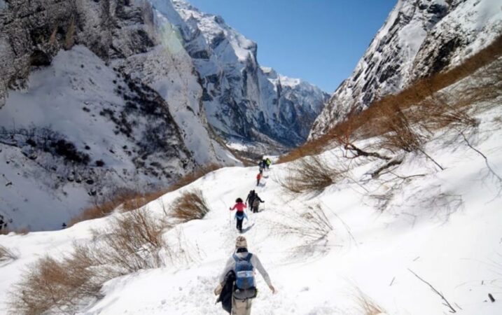
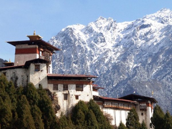
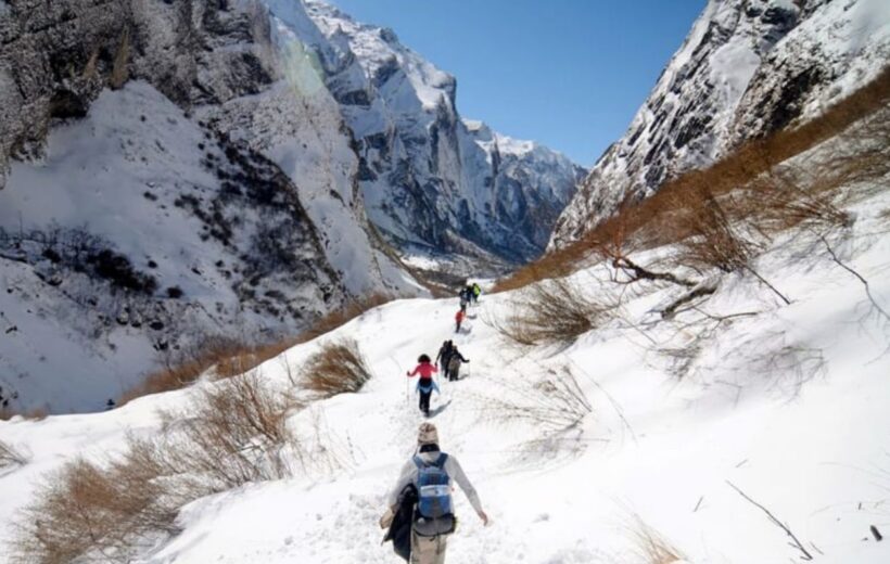
The Jhomolhari Loop Trek is one of Bhutan's most popular medium-level treks, highly favored by hiking enthusiasts worldwide. This trek offers spectacular views of the majestic Himalayas and a rich experience of Bhutan's natural beauty.
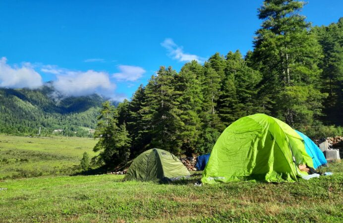
Starting from Gunitsawa village in the northwest, near the Bhutan-China border, the trek heads north to Jangothang, considered the best camping site in the Himalayas. From there, the trail loops back to Gunitsawa, passing picturesque highland lakes and vibrant flower meadows.
For those seeking panoramic views of Mt. Jhomolhari and Mt. Jichu Drakye and are willing to undertake a challenging trek to Lingzhi, this loop trek is ideal. Along the way, trekkers will encounter rocky cliffs, wildflower meadows, and pristine lakes, offering endless opportunities for exploration.
- **Difficulty**: Medium
- **Max Elevation**: 5,000 m
- **Min Elevation**: 2,500 m
- **Best Season**: April, May, June, September, October, November
- **Duration**: 10 days
Highlights:
- Kyichu Lhakhang: Ancient temple from the 8th century.
- Taktsang Gompa (Tiger's Nest): Iconic cliffside monastery.
- Jigme Dorji National Park: Rich biodiversity and stunning landscapes.
- Mt. Jomolhari: Majestic mountain views.
- Tshophu Lakes: High-altitude trout-filled lakes.
- Bhonte La Pass: Highest point of the trek with panoramic views.
Tips:
- Acclimatization: Slow down as you ascend to avoid altitude sickness.
- Wildlife: Keep an eye out for regional wildlife like blue sheep and marmots.
- Photography: Cease opportunities at Thombu La Pass for breathtaking views of Mt. Kanchenjunga and Drakye Gang.
This detailed itinerary covers the essential aspects of the Jhomolhari Loop Trek, ensuring a memorable experience in the breathtaking landscapes of Bhutan.
Included/Excluded
- The Bhutan SDF
- All accommodations
- Meals and mineral water
- A licensed English-speaking guide
- A driver and vehicle
- Air fare
- A visa fee of US$40
- Alcohol
- Gifts/Souvenirs
- Travel insurance and personal bills
- Museums & Monument Fees
Tour Plan
Day 1: Paro Arrival (2,200 m)
- Arrival: Arrive in Paro by plane or drive from Phuntsholing after crossing the India-Bhutan border.
- Activities: Depending on arrival time, visit local sights.
- Accommodation: Stay overnight in Paro hotels.
Day 2: Paro (2,200 m) - Gunitsawa Village (2,930 m)
- Distance: 16 km
- Ascent: 630 m
- Camp Altitude: 2,890 m
- Activities:
- Morning visit to Kyichu Lhakhang, a temple built in the 8th century.
- Climb to Taktsang Gompa (Tiger's Nest) for stunning valley views.
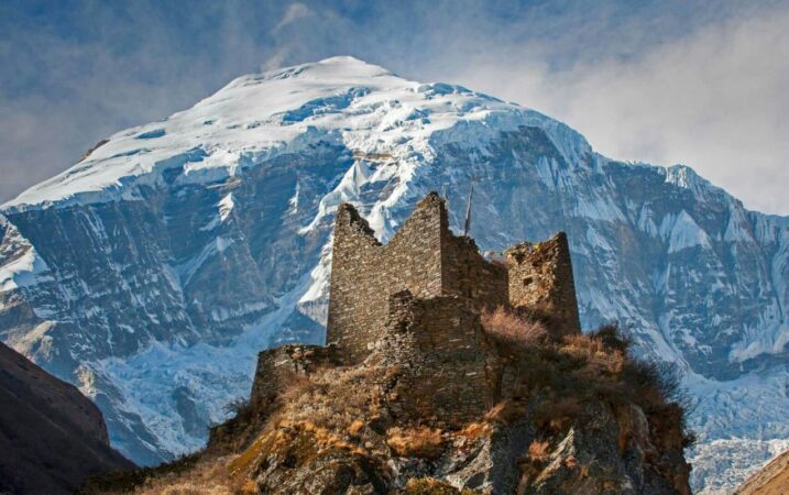
- After lunch, visit the ruins of Drukyel Dzong and ascend to Gunitsawa military camp.
- Accommodation: Camping at Gunitsawa.
Day 3: Gunitsawa Village (2,930 m) - Sharna Zampa (2,890 m)
- Distance: 2 km
- Time: 25 mins
- Descent: 80 m
- Camp Altitude: 2,850 m
- Activities:
- Start trek from Gunitsawa.
- Prepare trekking permit (assisted by tour operator).
- Accommodation: Camping at Sharna Zampa.
Day 4: Sharna Zampa (2,890 m) - Thangthangkha (3,575 m)
- Distance: 22 km
- Time: 7-8 hours
- Ascent: 685 m, descent 10 m
- Camp Altitude: 3,610 m
- Activities:
- Follow Paro Chuu River through Jigme Dorji National Park.
- Pass Shing Karap and reach Tremo La.
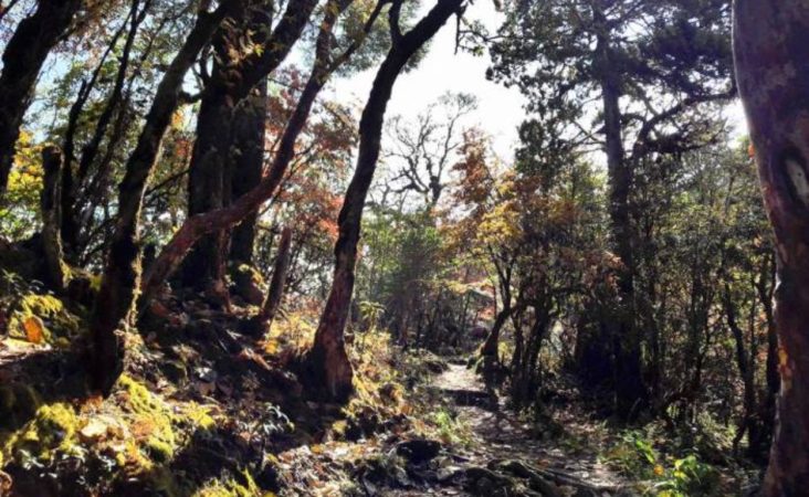
- Trek through dense forests to Thangthangkha.
- Accommodation: Camping at Thangthangkha.
Day 5: Thangthangkha (3,575 m) - Jangothang (4,044 m)
- Distance: 19 km
- Time: 5-6 hours
- Ascent: 480 m
- Camp Altitude: 4,080 m
- Activities:
- Enjoy sunrise over Mt. Jomolhari.
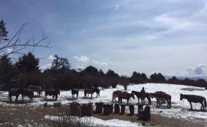
- Trek through larch covered hillsides and yak herding villages.
- Arrive at Jangothang Base Camp.
- Accommodation: Camping at Jangothang Base Camp.
Day 6: Jangothang Halt (4,044 m)
- Activities:
- Rest day for exploration and acclimatization.
- Suggested hikes to nearby trails and Tshophu Lake.
- Accommodation: Camping at Jangothang Base Camp.
Day 7: Jangothang (4,044 m) - Soi Yaktsa (3,800 m)
- Distance: 16 km
- Time: 6-7 hours
- Ascent: 810 m, descent 1,090 m
- Camp Altitude: 3,800 m
- Activities:
- Trek through Bhonte La Pass.
- Pass Tshophu Lakes.
- Descend to Soi Yaktsa.
- Accommodation: Camping at Soi Yaktsa valley.
Day 8: Soi Yaktsa (3,800 m) - Thombu Shong (4,180 m)
- Distance: 11 km
- Time: 4-5 hours
- Ascent: 720 m, descent 340 m
- Camp Altitude: 4,180 m
- Activities:
- Climb to Takhung La Pass.
- Descend to Thombu Shong.
- Accommodation: Camping at Thombu Shong.
Day 9: Thombu Shong (4,180 m) - Gunitsawa Village (2,930 m), Drive to Paro (2,200m)
- Thombu Shong to Gunitsawa Village
- Distance: 13 km
- Time: 4-5 hours
- Ascent: 200 m, descent 1,650 m
- Gunitsawa Village to Paro
- Distance: 16 km
- Ascent: Descent 630 m
- Activities:
- Trek from Thombu Shong to Gunitsawa Village.
- Drive back to Paro.
- Accommodation: Stay overnight in Paro.
Day 10: Paro (2,200 m), Departure
- Activities: Transfer to Paro Airport for departure.
Tour Map
FAQ
Bhutan is a year-round destination. There are four seasons: summer (June to August), autumn (September to November), winter (December to February) and spring (March to May). But because of the range of altitudes in the country, and the influence of the north Indian monsoons, the climate is incredibly varied.
In the south, the humid, subtropical climate is fairly consistent year-round, with temperatures between 15oC and 30oC. Central Bhutan, with its temperate forests, has a more seasonal climate, with warm summers and cool, dry winters. The northern regions are much colder during winter. Because of the high altitude, mountain peaks are snowy year-round and the lower reaches remain cool in summer.
In summer, the Indian monsoon season runs from late June or July to late September, mostly affecting the southern regions. Most farming activities take place in the summer, when crops thrive in verdant landscapes.
Autumn, from late September or early October to late November, follows the rainy season. It is characterised by bright, sunny days and some early snowfall at higher elevations. It’s the season of feasts and festivals as farmers reap the fruits of their work.
From late November until March, the crisp, clear and sunny winter sets in, with frost throughout much of the country and snowfall common above elevations of 3,000 metres. The winter northeast monsoon brings gale-force winds at the highest altitudes through high mountain passes, giving Bhutan the name Drukyul, which means Land of the Thunder Dragon in Dzongkha (Bhutan’s national language).
Bhutan’s generally dry spring starts in early March and lasts until mid-April. It is a botanist’s delight, with nature in full bloom. Summer weather commences in mid-April with occasional showers and continues to late June.
The SDF is USD 100 per night for adults from all countries except for India. Children aged between 6 years and who have not yet turned 12 are eligible to pay USD 50 per night. Children who have not yet turned 6 years old do not have to pay any SDF.
The SDF for Indian nationals (showing a valid Indian passport or Voter ID card) is Nu. 1,200 (or the equivalent amount in Indian rupees) per person, per night. Children aged between 6 years and who have not yet turned 12 are eligible to pay Nu./INR 600 per night. Children who have not yet turned 6 years old do not have to pay any SDF.
While most monuments in Bhutan are free, some are chargeable. For the full list of monument fees, please click here for more information. Children below 18 years will have a 50% concession and children aged five years and below will be exempted. Most monuments are open from 9am – 5pm each day. In June 2023 it was announced that foreign visitors can now visit monuments whenever they are open to the general public, without any restrictions.
